
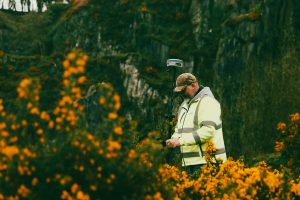
 Detailed 2D & 3D maps with data collected and processed using the latest surveying equipment and software. True to scale representations of the natural topography to aid design and build for all construction and development projects. Everything from levels, drainage details, building heights, tree positions, and all above ground features are recorded and all to scale.
Specialists in 2D & 3D Surveys
Outputs Suited to Your Requirements
Everything from contours, drainage details, building heights and positions are recorded and all to scale. Outputs can be delivered to fit seamlessly into all major design suites.
Each individual survey can be customised to each clients needs so if you need a basic boundary survey or the most complex sub-surface survey we can deliver and tailor the deliverable to your needs.
As standard all our surveys are delivered in ITM which is the national coordinate system for Ireland and tied to Malin Head datum.