
Also known as underwater surveying, hydrography is the science of determining the features of an underwater area. The features to be studied include the water depth, topographic features, tide measurement etc. Simply put, being able to understand the contortions and elevations of the ocean floor has many practical uses.
An important type of hydrographic surveys is the bathymetric survey, This is the underwater equivalent to a land surveying.
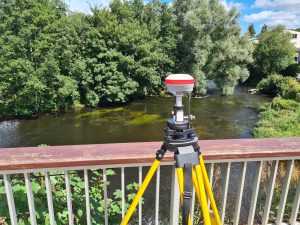 Unlike land surveys that use static or stationary equipment to conduct measurements, bathymetry involves a dynamic ship that is moving while carrying out observations. Thus, special allowances have to be made for any error that arises out of this motion.
The primary purpose of hydrographic surveying is in water depth estimation, which is achieved by bathymetric surveys. Do you have a requirement for inshore Hydrographic Surveys? If so feel free to give Mark or Mick a call to discuss.